 vesseltracker.com
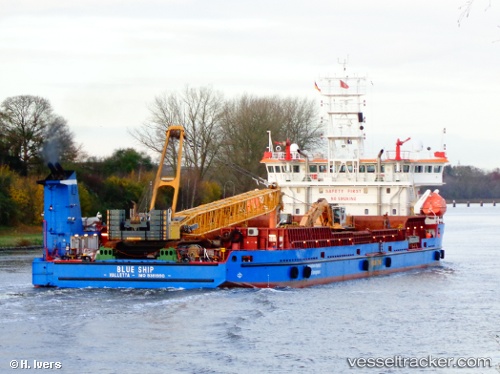
Vessel BLUE SKY IMO: 9381990, MMSI: 511100803 Deck Cargo Ship
UTC, 36.50817, -6.44260, course: 60, speed: 8.8
UTC, 36.57417, -6.32212, course: 291, speed: 0.3
2026-03-11 15:44:47 UTC, 36.57398, -6.32219, course: 289, speed: 0
Live Vessel BLUE SKY Analytics (details, animations, etc.)
Live AIS position: UTC. Near Rota), updated 2026-03-11 15:44:47 UTC.Find the position of the vessel BLUE SKY on the map. The latter are known coordinates and path.
marine traffic ship tracker show on live map
The current position of vessel BLUE SKY is 36.57398 lat / -6.32219 lng. Updated: 2026-03-11 15:44:47 UTCCurrently sailing under the flag of Palau (Republic of)
BLUE SKY built in 2006 year
Deadweight:
5664 tDetails:
Last coordinates of the vessel:
UTC, 35.96651, -7.68034, course: 13, speed: 8.2UTC, 36.50817, -6.44260, course: 60, speed: 8.8
UTC, 36.57417, -6.32212, course: 291, speed: 0.3
2026-03-11 15:44:47 UTC, 36.57398, -6.32219, course: 289, speed: 0